HOME > Case > AIoT Digital Comprehensive Management > Tailings Ponds & Slopes Online Monitoring
Background
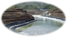
Tailings ponds and slopes are common facilities and geological structures in mines, and they represent the largest sources of danger. These structures are prone to damage and instability, and if not managed properly, various natural and human factors can lead to safety issues, causing significant disasters and losses. They are a crucial part of mine safety management.
Prone to Structural Damage and Instability Continuous accumulation and edge locations result in an unstable state, leading to surface and deep displacement | Environmental Impact Especially susceptible to rainfall, increasing risk factors | |
| ||
Challenges with Manual Inspection The frequency of manual inspections can not meet real-time requirements and fails to predict changes and risks in slopes | Serious Safety Risks The high terrain and large volume of tailings ponds and slopes pose significant threats to personnel and property safety in case of collapse or rockfall incidents |
System Introduction
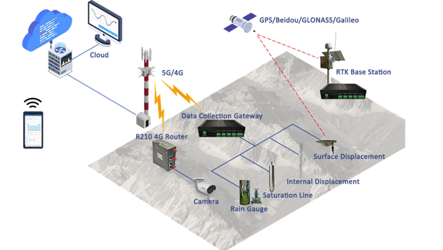
The system collects various data such as surface displacement, internal displacement, rainfall, and pore pressure through the RT620 high-precision positioning and data acquisition terminal. The data is remotely transmitted to the management platform via 4G network. The management platform uses preset parameters and algorithm models to provide early warnings of risk and supports querying and statistical analysis of historical data.
Key Technologies
Utilizing advanced algorithms based on industry models to achieve efficient and accurate data analysis and early warning. Comprehensively adopt 5G and LoRa to build an efficient, stable, and reliable wireless data connection. The RTK high-precision positioning calculation software, as well as the 3D modeling of digital mines and sensor data collection, are all at the industry-leading levels. | 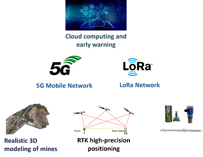 | 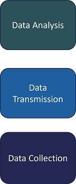 |
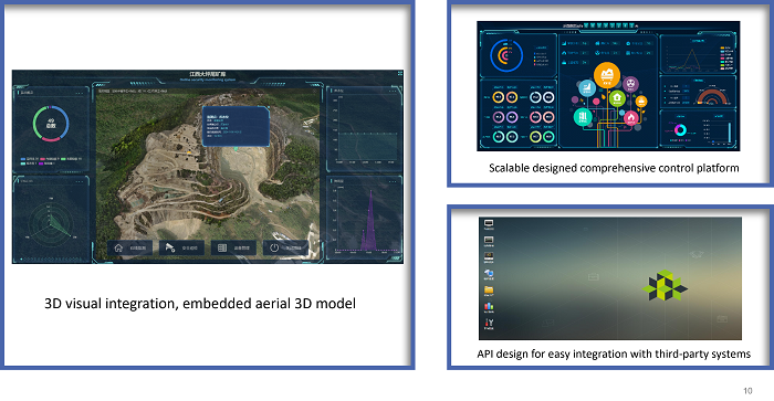
Monitoring Platform
Water Monitoring
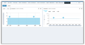
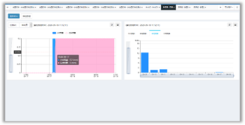
The data collected by various sensors is sent to the backend for storage and presented in a graphical way on the monitoring interface. | 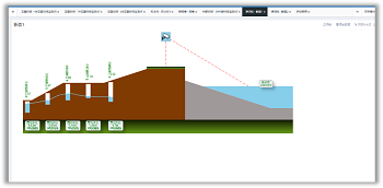 |
 |
|
Flood Regulation &Calculation
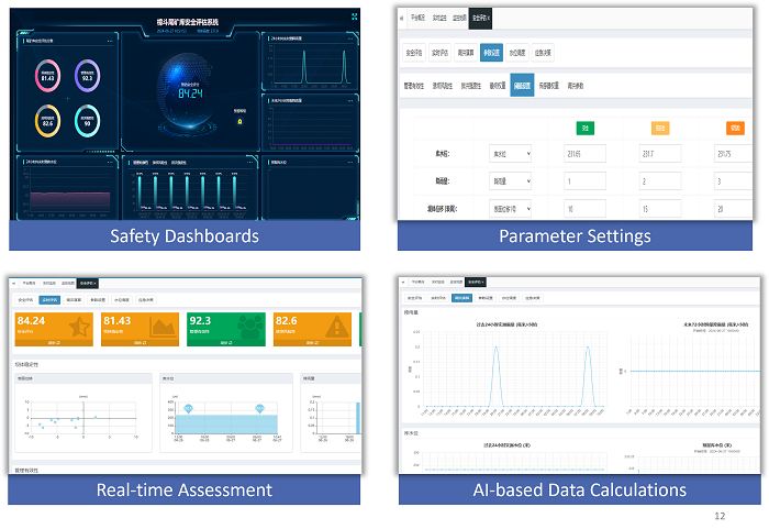
The platform integrates advanced flood regulation calculation models to conduct comprehensive safety assessments of the monitoring area based on collected water system data in real-time. Alerts are issued when monitoring parameters trigger thresholds. Features include safety dashboards, parameter settings, real-time assessment, and AI-based data calculations.
High-precision Satellite Monitoring of Displacement
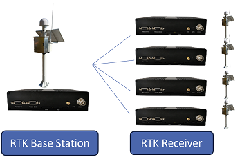
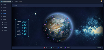
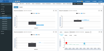
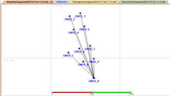
WLINK’s independently developed high-precision RTK receiver, RTK base station, and high-performance data calculation platform provide millimeter-level precision real-time monitoring of surface displacement. It features real-time satellite imagery, displacement data viewing, and a calculation platform interface.
 |  |
 |  |
Comprehensive Early Warning
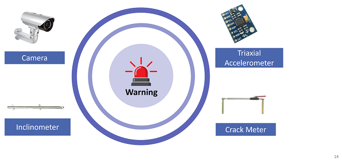
Various measurement devices can be integrated based on project requirements to provide comprehensive early warning capabilities.
